New product announcement: TopCop GIS
April 1st 2019
NEW PRODUCT ANNOUNCEMENT: TOPCOP GIS
CI Technologies, Inc. announces the release of the newest addition to its IAPro product suite: TopCop GIS!
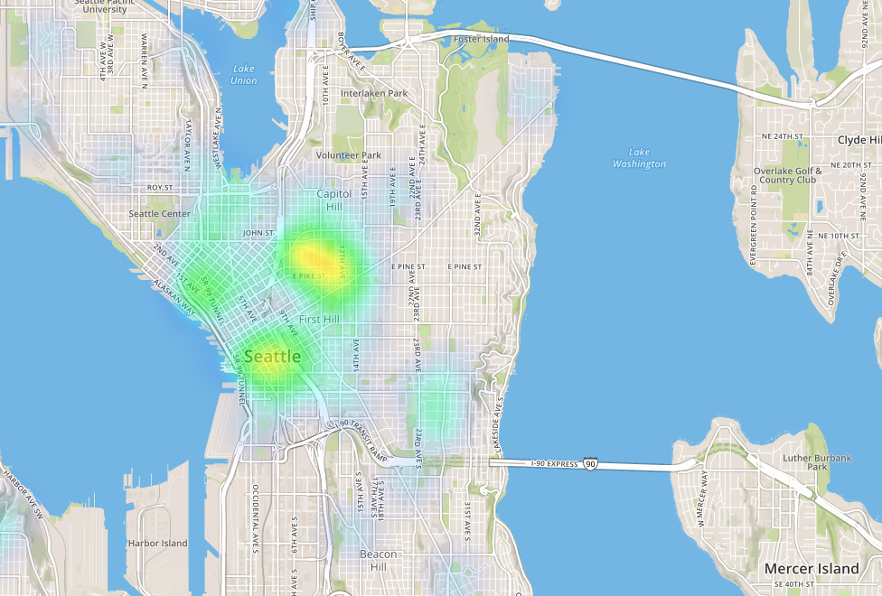
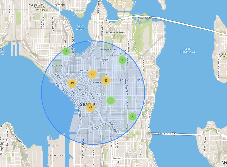
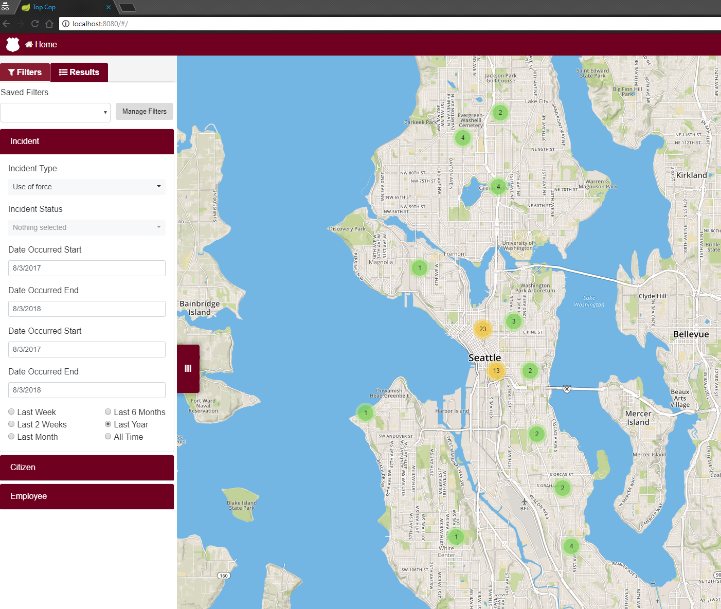
- TopCop GIS is an advanced, map-enabled application designed for visualizing critical incidents geographically.
- TopCop GIS provides mapping and filtered search of data collected at IAPro and BlueTeam customer sites.
- Having already entered into trial use at several key IAPro and BlueTeam customer sites, TopCop will be released 3rd quarter 2019.
To learn more, click on the TopCop heat map screen image below...